Showing posts with label inspiration point. Show all posts

Wednesday, February 22, 2017

Trails At The End Of Tunnel Road Closed Tomorrow - 2/23/17!

This closure was ordered in order to clean up the fire road and will effect the following trails:
Jesusita, Tunnel, Seven Falls, Arlington/Cathedral Peaks.


Sunday, August 5, 2012

Rain In August?

Arlingtion Peak


Santa Barbara Peeking Out Of The Clouds

Wednesday, September 28, 2011

View From Above The Clouds

There was sun somewhere in Santa Barbara today....high up on the trails. Here are a few pics from Arroyo Burro Trail this afternoon.


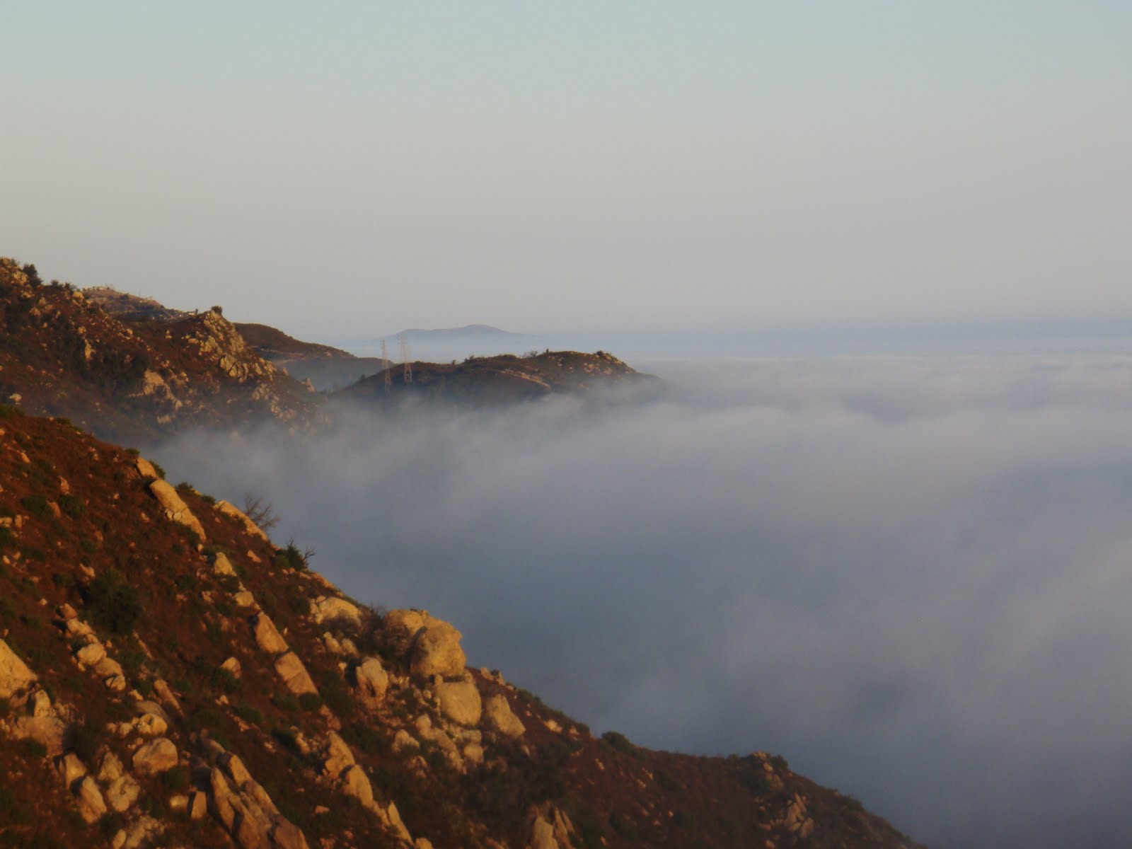
Inspiration Point peaking through the clouds


View down the steep ridge on ABT


Goleta Mountains and Clouds


Tuesday, July 21, 2009

Inspiration Point's New Look

I hadn't run the San Roque side, Jesusita to Inspiration Point route in at least six months. I knew it was trashed but not what I expected. Lots of garbage was piled up at the trail head. Who was nice enough to walk the burnt hillsides to pick up all this crap. There was a burnt out bike frame, a motorcycle, and dozens of broken bottles. I soon found out who was responsible for cleaning up this massive dump, Rick. Rick said he hiked here all the time and couldn't let all the trash just sit by the trail. The photos only show part of the mess, Rick had piles of bottles and cans and other debris bagged up and ready for removal. Thanks Rick!

It is nice to know that even with a devastating fire poison oak can survive. Most of all the bad poison oak areas on lower Jesusita are still going strong. Even ones that burnt up are actually sprouting again pretty rapidly. Maybe its not because it's a indestructible plant, maybe because it grows near the water. The shade along the trail is surprisingly intact while compared to upper West Fork and Tunnel Trails. The trees and brush are definitely singed in a lot of places but it looks like some of it might survive.

Past the last ranch along the trail, the trail leaves the canyon and the brush along with it. The area below Inspiration Point where the trail switches back and forth is in the worst shape. The trail is very loose in a many spots but still very safe. The lower sections of Jesusita it is hard to notice any difference in the trail itself from before the fire. This will certainly be a different story after the rains come and along with it, big problems.

Inspiration Point was clearly a battleground to try and stop the fire. There are small areas of brush still standing surrounded by large areas of nothing. Using dozers the fire fighters created a fire break at I.P. which heads directly towards the city. Probably 1/4 mile in length, this steep fire break ends at a steep overlook of burnt out canyons and almost above Spyglass Ridge Rd. and San Roque Canyon.

Looking toward the mountains Cathedral Peak is mostly bare of all its brush. It will be interesting to see the peak when that trail re-opens. FYI the drinking fountain near the last ranch along the trail is still working! Dave

Years of Garbage Piled Up At The Trail Head Good Samaritan Rick Picking Up After Everyone
5 Gallons of Broken Glass

New Signage at The Trail Head
Jesusita Trail Near the Top
Lower Jesusita Still Has Some Shade
Inspiration Point

The New Trail Extension At Inspiration Point Spyglass Ridge
Cathedral Peak
Tunnel Trail Zig Zagging In The Distance The Bridge Is Gone In Need of A Tow

Thursday, May 14, 2009

Inspiration Point Montage

Thanks to an idea by Rob R., I have put together a series of photos of the Inspiration Point area. These photos were taken from the same Riviera location during and after the Jesusita Fire. Dave


Wednesday 5/6 am, appeared calm and somewhat under control
Wednesday 5/6 pm, it was definitely heading towards the Riviera
Friday 5/8
Thursday 5/14, The Aftermath

Wednesday, May 6, 2009

Inspiration Point

Here is a photo from the Riviera of Inspiration Point and the surrounding area. The Jesusita Fire appears to have burned Jesusita on both sides of Inspiration Point and the Point itself. From the location on the Riviera it was impossible to see where the fire was in the canyon itself. For some pretty cool Google Earth overlays of the fire click here and scroll down to the active fire maps.


Monday, January 26, 2009

Parma Park Showing Signs Of Life...and Other Pics

First time I rode on Mountain Drive since before the Tea Fire. Partially out of respect of the victims and partially to the fact that its not the same any more. This past Sunday I rode Mt and found far more bikes than cars on this nearly deserted street. The photo taken of Parma shows grasses pushing through after the last couple of rains. It is a good thing Parma is closed because also visible are several areas of hillsides sliding down and taking sections of trail with it. Below this photo is one of Parma taken the week after the Tea Fire. Below both of them is a photo from my afternoon run up to Inspiration Pt.

Parma 1/25/09

Parma 11/18/08

Inspiration Point 1/25/09