Thursday, September 29, 2011
National Public Lands Day, 9/25/11- Photos and More

Wednesday, September 28, 2011
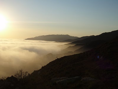
View From Above The Clouds

Sunday, September 11, 2011
Saturday, September 10, 2011
Monday, September 5, 2011
Re-Discovering The Franklin Trail
The Franklin Trail, it's the newest old trail in Carpinteria. Over 100 years old it runs from behind Carp High to a saddle on Divide Peak Rd then down to Jameson Reservoir. Unfortunately property lines prevent usage at this time but...... a group is currently trying to get the lower Franklin Trail re-opened and is looking for donations make this happen. Visit "the Friends of Franklin Trail" website to learn more. Once the lower section of the Franklin is accessable, traveling from Carpinteria to Jameson Reservior will again be possible.
I decided to take a look at the upper portion of the Franklin Trail via Divide Peak Road and the Island View Trail. The upper trail head of the Franklin is a little more than 9 miles from Romero Canyon's upper gate. Questions I had were, what is the feasibility of making a loop out of Franklin- Romero Trails, I also wanted check the condition of the upper trail, and get GPS mapping done for the connection route.
The trail to Franklin is very similar to McKinley Peak in distance and steepness. The distance between the gate and Franklin was a little over 9 miles with approx 1900 ft in elevation gain and 1200ft of elevation loss. The conditions are steep in some sections but the views towards Carpinteria and beyond are well worth the effort. (I previously mapped the Island View Trail- approx 3.5 miles in length, it connects the upper Romero Fire Road/Camino Cielo to Divide Peak Road. This trail is extremely steep)
After cycling along the road in the 90 degree heat for a couple of hours I arrived at a saddle where my GPS told me the Franklin Trail Head should be. No signage is evident and no real trail was visible. I wasn't convinced that I was in the right place until I walked up the hill and took a look back at the saddle where I could make out a faint trail heading down towards Carp.
Definitely an exploration that warrants long pants and more energy than I had this day. When and if this trail gets re-opened it will be fun to connect this upper section of trail to the lower trail below. Look for a maintenance project for this upper trail in the near future? D
Panoramic of the Upper Franklin Trail View of Carp and the islands from the Franklin Saddle
Click Here For The Photo Album


