One of last major trail projects forest supervisor Willis M. Slosson undertook before his retirement in 1914 was the Franklin Trail in Carpinteria. Always looking for ways to improve his rangers ability to patrol and fight fires, this trail would provide an route to an area that previously had been nearly inaccessible. In January of 1913 Slosson outlined his plan to build this new trail through Franklin Canyon over the Santa Ynez Range to the Santa Ynez River in the area known as Juncal. The Morning Press described Franklin Canyon as "one the most attractive bits of landscape of the entire coast section". This new trail was to be built with easy grades knowing that hikers and equestrians would also enjoy recreation available in the Carpinteria backcountry.
Work was soon under way with rangers Henry W. Muzzall, Carl Stoddard, and Tom Dinsmore amongst others leading the construction on this historic trail, then known as the Carpinteria-Juncal Trail. Slosson decided this name was the most descriptive although is had been more commonly referred to as the Franklin Canyon Trail. It was completed in June of 1913 after months of backbreaking work cutting through thick chaparral and blasting past seemingly unsurpassable sandstone formations. The Juncal area was now reachable in an 8-10 hour trip which previously took 2-3 days. The Franklin Trail was an immediate hit providing access to the backcountry for hunters, fishermen, campers, or those just out for a scenic ride wanting to see the panoramic views of the Carpinteria Valley and Santa Barbara Coast.
Within years of being built, in 1915 the canyon was closed to public entry. C.B. Franklin, owner of the Franklin canyon, was upset by the motorists who would picnic on his property and picked his walnut trees bare. Picnicking had been long a popular practice in Franklin Canyon. The canyon eventually re-opened, but would close again in the 1930's due to a fire thought to be caused by picnickers. The Franklin Trail became part of the trail system for and was enjoyed for decades, allowing a direct route from Carpinteria to the backcountry. In the 1970s land owners whose property the Franklin Trail crossed, closed their lands to public access fearing root rot on their avocado trees from hikers feet and horse hooves.
The trail had been closed since the 70's but people never gave up working on trying to re-open it. After years of persistent work to get this trail re-opened by various organizations, the Friends of Franklin Trail finally were able to get past the final stumbling blocks. The trail is open in it's first phase, which covers the lower 2 miles, with two more phases that will eventually take this trail to the top of the Santa Ynez Range along Divide Peak Road. Phase two will cross through Rancho Monte Alegre along the fire roads, and the final phase will be across forest service lands to the summit where the old trail is long overgrown and badly damaged.
To access this great trail, parking is available in several locations. During school hours parking is only allowed along Sterling Avenue by Franklin Park or along Meadow View Lane off Linden Ave.
Signs and a bike path provide easy access to the trailhead, located on Carpinteria High School Property. When students are not present at Carpinteria High School, parking is allowed in the school parking lot.
The trailhead begins at the western end of the parking lot where plenty of signs and a kiosk are at the start. From there the trail heads north along the western edge of campus before turning east and heading between athletic fields and orchards. Tall fences guide the trail user past these agriculture areas to the first glimpse of single track, roughly 1 mile from the parking areas. The single track climbs through dense chaparral for about 3/4 mile before popping out again on fire road. The road continues to head north until reaching a locked gait 1/3 of a mile ahead. This is the end of Phase 1.
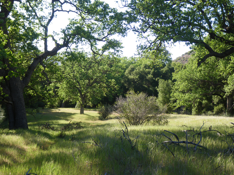
The view of the mountains and trail ascending behind Carpinteria High School
Map of the 3 phases of the Franklin Trail
Parking Restrictions @ Carpinteria High School
No Mountain Bikes or Equestrians until January
Kiosk Tiles - Back
Kiosk - Front
Kind of hard to wander off the trail in this section
The single track section
The views
Access restricted beyond this gate into Rancho Monte Alegre